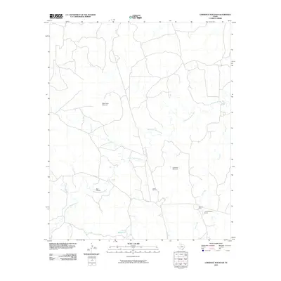
2010 Map of Lowrance Mountain
USGS Topo · Published 2010About this map
The Middle Fork Wichita River meanders across this West Texas landscape, cutting a path through the rolling ranchland of King County. This 2010 survey highlights the local geography of the region, where prominent elevations like Wild Horse Mountain and Lowrance Mountain overlook a network of seasonal drainages including Farrer Creek and Love Creek. The landscape is defined by its agricultural and energy infrastructure, notably the Lowrance Ranch and its associated Lowrance Ranch Airport, which serve as primary landmarks in this sparsely populated area.
Find a feature on this map
13 named features on this map. Tap any name to fly to it.
Don’t see what you’re looking for? This feature index may not catch every label — zoom into the map to look around manually.
Map Details
Editions of this 2010 Lowrance Mountain Map
This is the sole edition of this map. No revisions or reprints were ever made.
Other maps of this area

1954 · Lubbock
USGS Topo · 1:250,000

1954 · Wichita Falls
USGS Topo · 1:250,000

1958 · Wichita Falls
USGS Topo · 1:250,000

1966 · Ox Yoke Creek
USGS Topo · 1:24,000

1966 · Chalk SW
USGS Topo · 1:24,000

1966 · Big Four Ranch
USGS Topo · 1:24,000

1966 · J Y Ranch
USGS Topo · 1:24,000

1966 · Maverick Flat
USGS Topo · 1:24,000

1966 · Lowrance Mountain
USGS Topo · 1:24,000

1968 · Y Ranch
USGS Topo · 1:24,000