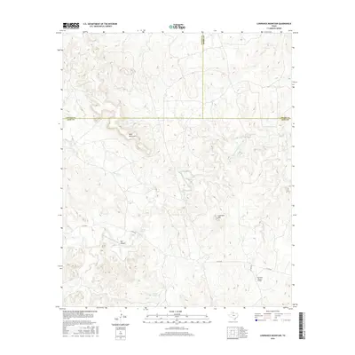
2016 Map of Lowrance Mountain
USGS Topo · Published 2016About this map
Lowrance Mtn and Wild Horse Mtn dominate this 2016 survey of King County, documenting a sparsely populated landscape defined by ranching infrastructure and intermittent waterways. The Middle Fork Wichita River winds across the central terrain, carving through deep incisions like Bull Canyon as it moves eastward. Significant landmarks include the Lowrance Ranch Airport and localized water sources such as Pouring Spring and Marys Lake. This map captures a region at the intersection of Cottle, Foard, and King counties, where the traditional land use of the Texas Rolling Plains is preserved. Remote roadways like Co RD 204 and PVT RD 2613 provide the primary access to these isolated peaks and seasonal drainages, including Farrer Cr and Love Cr.
Find a feature on this map
15 named features on this map. Tap any name to fly to it.
Don’t see what you’re looking for? This feature index may not catch every label — zoom into the map to look around manually.
Map Details
Editions of this 2016 Lowrance Mountain Map
This is the sole edition of this map. No revisions or reprints were ever made.
Other maps of this area
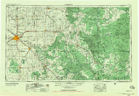
1954 · Lubbock
USGS Topo · 1:250,000
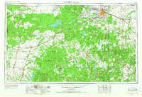
1954 · Wichita Falls
USGS Topo · 1:250,000
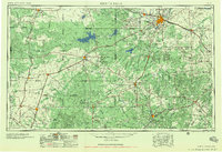
1958 · Wichita Falls
USGS Topo · 1:250,000
1966 · Ox Yoke Creek
USGS Topo · 1:24,000
1966 · Chalk SW
USGS Topo · 1:24,000
1966 · Big Four Ranch
USGS Topo · 1:24,000
1966 · J Y Ranch
USGS Topo · 1:24,000
1966 · Maverick Flat
USGS Topo · 1:24,000
1966 · Lowrance Mountain
USGS Topo · 1:24,000
1968 · Y Ranch
USGS Topo · 1:24,000