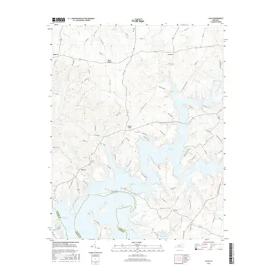
2016 Map of Lucas
USGS Topo · Published 2016About this map
Barren River Lake dominates the central and southern reaches of this landscape, its winding shoreline creating complex peninsulas like The Narrows and numerous inlets fed by waterways such as Buck Cr and Cooks Cr. Small communities are dispersed across the upland ridges, including Rocky Hill, Finney, and Lucas, the latter situated near the southern boundary between Barren and Allen counties. The map reflects a rural economy shaped by both the reservoir and a dense network of country roads like Skaggs Creek Rd and Bailey Point Rd.
Find a feature on this map
93 named features on this map. Tap any name to fly to it.
Don’t see what you’re looking for? This feature index may not catch every label — zoom into the map to look around manually.
Map Details
Editions of this 2016 Lucas Map
This is the sole edition of this map. No revisions or reprints were ever made.
Other maps of this area

1922 · Mammoth Cave
USGS Topo · 1:62,500

1923 · Mammoth Cave
USGS Topo · 1:62,500

1926 · Scottsville
USGS Topo · 1:62,500

1935 · Horse Cave
USGS Topo · 1:48,000

1938 · Horse Cave
USGS Topo · 1:62,500

1953 · Tracy
USGS Topo · 1:24,000

1953 · Glasgow South
USGS Topo · 1:24,000

1954 · Evansville
USGS Topo · 1:250,000

1954 · Austin
USGS Topo · 1:24,000
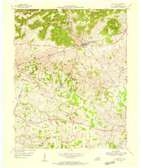
1954 · Park City
USGS Topo · 1:24,000