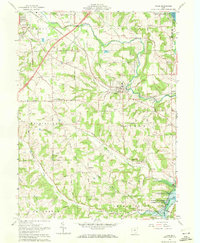
1961 Map of Lucas
USGS Topo · Published 1972About this map
Lucas and the surrounding townships of Monroe and Mifflin are defined by the winding course of the Rocky Fork and the extensive water management systems of the Muskingum Watershed Conservancy District. In the early 1960s, this landscape preserved a transition from the industrial edge of Mansfield to the rural valleys of Washington and Jefferson. The Pennsylvania Railroad cuts across the northern terrain, passing landmarks like the Culler Mill and the Richland Hospital.
Find a feature on this map
92 named features on this map. Tap any name to fly to it.
Don’t see what you’re looking for? This feature index may not catch every label — zoom into the map to look around manually.
Map Details
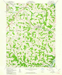
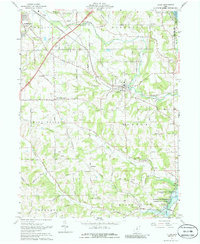
Editions of this 1961 Lucas Map
3 editions found
Other maps of this area

1908 · Ashland
USGS Topo · 1:62,500

1912 · Perrysville
USGS Topo · 1:62,500

1915 · Crestline
USGS Topo · 1:62,500

1915 · Perrysville
USGS Topo · 1:62,500

1915 · Shauck
USGS Topo · 1:62,500

1943 · Shauck
USGS Topo · 1:62,500

1943 · Crestline
USGS Topo · 1:62,500

1944 · Perrysville
USGS Topo · 1:62,500

1950 · Marion
USGS Topo · 1:250,000

1960 · Pavonia
USGS Topo · 1:24,000