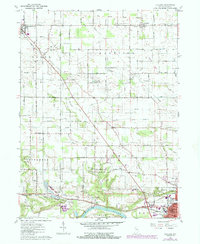
1960 Map of Lucerne
USGS Topo · Published 1987About this map
Logansport sits at the southern edge of this mid-century survey, where the Wabash River and Conrail rail lines converge near Dykeman Park Golf Course. The map captures a transition from the urban periphery of Dunkirk to the rural expanses of Harrison and Jefferson townships. The landscape is defined by an intricate network of drainage, including Crooked Creek, Mc Nitt Ditch, and Forgey Ditch, which support the agricultural vitality of the region.
Find a feature on this map
84 named features on this map. Tap any name to fly to it.
Don’t see what you’re looking for? This feature index may not catch every label — zoom into the map to look around manually.
Map Details
Editions of this 1960 Lucerne Map
2 editions found
Other maps of this area

1953 · Danville
USGS Topo · 1:250,000

1955 · Danville
USGS Topo · 1:250,000

1955 · Logansport
USGS Topo · 1:24,000

1955 · Anoka
USGS Topo · 1:24,000

1956 · Danville
USGS Topo · 1:250,000

1960 · Lucerne
USGS Topo · 1:24,000

1960 · Fulton
USGS Topo · 1:24,000

1960 · Grass Creek
USGS Topo · 1:24,000

1962 · Burrows
USGS Topo · 1:24,000

1962 · Star City
USGS Topo · 1:24,000