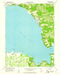
1958 Map of Lucerne
USGS Topo · Published 1961About this map
The eastern shores of Clear Lake are defined by the sharp transition from the water's edge to the high ridges of the Mendocino National Forest in the late 1950s. The settlement of Lucerne sits tucked against the base of these slopes, while to the northwest, Nice and Laurel Beach follow the curving shoreline. This survey captures the lakeside culture before modern expansion, where small communities like Paradise Valley and Lakeside Park served as quiet retreats.
Find a feature on this map
55 named features on this map. Tap any name to fly to it.
Don’t see what you’re looking for? This feature index may not catch every label — zoom into the map to look around manually.
Map Details
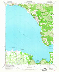
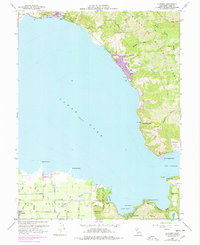
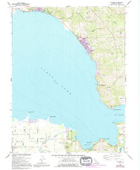
Editions of this 1958 Lucerne Map
4 editions found
Other maps of this area

1921 · Kelseyville
USGS Topo · 1:62,500

1924 · Bartlett Springs
USGS Topo · 1:62,500

1938 · Lakeport
USGS Topo · 1:62,500

1942 · Bartlett Springs
USGS Topo · 1:62,500

1943 · Kelseyville
USGS Topo · 1:62,500

1944 · Bartlett Springs
USGS Topo · 1:62,500

1945 · Lower Lake
USGS Topo · 1:62,500

1947 · Santa Rosa
USGS Topo · 1:250,000

1949 · Santa Rosa
USGS Topo · 1:250,000

1951 · Lakeport
USGS Topo · 1:62,500