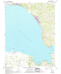
1958 Map of Lucerne
USGS Topo · Published 1994About this map
Lucerne and Nice anchor the northeastern shoreline of Clear Lake in this 1958 survey, updated with revisions through the 1990s. The map illustrates a concentrated ribbon of development along the water, where settlements like Laurel Beach and Pepperwood Grove sit at the base of the steep Mendocino National Forest terrain. To the south, the landscape opens into the agricultural flats of Big Valley, where Finley is situated among a network of rural roads like Finley Road and Gaddy Road. The shoreline is characterized by distinct geographic markers including The Narrows, Long Tule Point, and Dorn Bay. The presence of Clear Lake State Park and the planned residential layout of Buckingham Park near Soda Bay reflect the mid-century evolution of the area into a premier destination for recreation and lakeside living.
Find a feature on this map
45 named features on this map. Tap any name to fly to it.
Don’t see what you’re looking for? This feature index may not catch every label — zoom into the map to look around manually.
Map Details
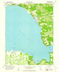
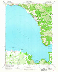
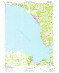
Editions of this 1958 Lucerne Map
4 editions found
Other maps of this area

1921 · Kelseyville
USGS Topo · 1:62,500

1924 · Bartlett Springs
USGS Topo · 1:62,500

1938 · Lakeport
USGS Topo · 1:62,500

1942 · Bartlett Springs
USGS Topo · 1:62,500

1943 · Kelseyville
USGS Topo · 1:62,500

1944 · Bartlett Springs
USGS Topo · 1:62,500

1945 · Lower Lake
USGS Topo · 1:62,500

1947 · Santa Rosa
USGS Topo · 1:250,000

1949 · Santa Rosa
USGS Topo · 1:250,000

1951 · Lakeport
USGS Topo · 1:62,500