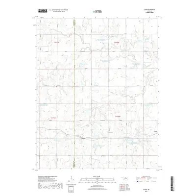
2018 Map of Lucien
USGS Topo · Published 2018About this map
Lucien and the neighboring locale of Gansel sit at the center of this Oklahoma landscape, where the agricultural plains are dissected by a network of creeks and small reservoirs. The drainage system is dominated by the winding course of Black Bear Cr, supported by tributaries such as Panther Cr, Turkey Cr, and Warren Cr. A notable modern development shown here is the extensive series of upstream flood control structures, including Upper Black Bear Cr Site 50 Reservoir and Upper Black Bear Cr Site 22 Reservoir. For those researching local family history, the map identifies Sample Cem and McGuire Cem, which remain as fixed points amidst the rural sections. The terrain rises slightly at Knob Hill, while a grid of section roads like Independence Rd and John Wayne Rd provides access across the Garfield and Noble county line.
Find a feature on this map
62 named features on this map. Tap any name to fly to it.
Don’t see what you’re looking for? This feature index may not catch every label — zoom into the map to look around manually.
Map Details
Editions of this 2018 Lucien Map
This is the sole edition of this map. No revisions or reprints were ever made.
Other maps of this area

1893 · Mulhall
USGS Topo · 1:62,500

1893 · Lovell
USGS Topo · 1:62,500

1955 · Enid
USGS Topo · 1:250,000

1956 · Garber
USGS Topo · 1:62,500

1958 · Enid
USGS Topo · 1:250,000

1972 · Perry NW
USGS Topo · 1:24,000

1972 · Ceres
USGS Topo · 1:24,000

1972 · Perry
USGS Topo · 1:24,000

1972 · Lucien
USGS Topo · 1:24,000
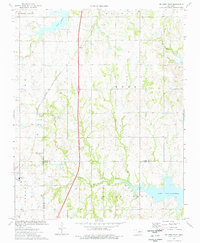
1974 · Orlando East
USGS Topo · 1:24,000