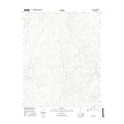
2016 Map of Lucy Creek
USGS Topo · Published 2016About this map
Lucy Creek winds through the heart of this Osage County landscape, defining the drainage patterns of the Oklahoma prairie in the mid-2010s. The terrain is a network of ridges and drainages, where Hominy Creek and its smaller tributaries like Pounds Run and Solomon Cr have carved a complex topography. This area is characterized by its rural infrastructure, where local passage relies on a grid of county roads and named routes like Bill Morris Rd and Sullins Rd. The map illustrates the transition of the landscape from the larger Gray Horse Cr watershed in the west to the deeply dissected terrain of the east, providing a clear record of the area's modern rural character before any further contemporary development.
Find a feature on this map
19 named features on this map. Tap any name to fly to it.
Don’t see what you’re looking for? This feature index may not catch every label — zoom into the map to look around manually.
Map Details
Editions of this 2016 Lucy Creek Map
This is the sole edition of this map. No revisions or reprints were ever made.
Other maps of this area
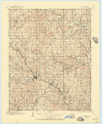
1909 · Pawhuska
USGS Topo · 1:125,000
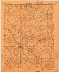
1910 · Pawhuska
USGS Topo · 1:125,000
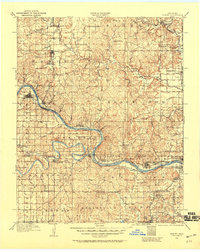
1912 · Hominy
USGS Topo · 1:125,000
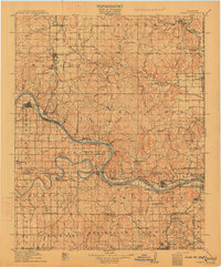
1915 · Hominy
USGS Topo · 1:125,000
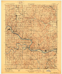
1915 · Hominy
USGS Topo · 1:62,500
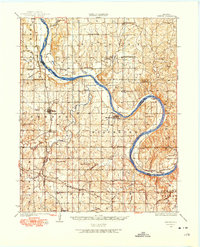
1929 · Skedee
USGS Topo · 1:62,500
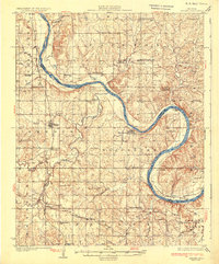
1931 · Skedee
USGS Topo · 1:62,500
1932 · Fairfax
USGS Topo · 1:62,500
1955 · Enid
USGS Topo · 1:250,000
1958 · Enid
USGS Topo · 1:250,000