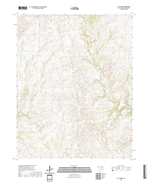
2022 Map of Lucy Creek
USGS Topo · Published 2022About this map
Hominy Creek flows across this Osage County landscape, defining a network of drainages that includes Gray Horse Cr and Lucy Cr. The terrain reflects the characteristic drainage patterns of the Oklahoma Cross Timbers region, where small tributaries like Daniels Run and Sycamore Cr carve through the plains. Local transportation is primarily managed through a system of county roads and named routes such as Bill Morris Rd and Sullins Rd, which navigate the sections of the Public Land Survey System. These grids, marked by township boundaries like t24n r7e, show the enduring structure of land division in this part of the state, providing a clear view of rural property lines and remote stream access points.
Find a feature on this map
24 named features on this map. Tap any name to fly to it.
Don’t see what you’re looking for? This feature index may not catch every label — zoom into the map to look around manually.
Map Details
Editions of this 2022 Lucy Creek Map
This is the sole edition of this map. No revisions or reprints were ever made.
Other maps of this area

1909 · Pawhuska
USGS Topo · 1:125,000

1910 · Pawhuska
USGS Topo · 1:125,000

1912 · Hominy
USGS Topo · 1:125,000

1915 · Hominy
USGS Topo · 1:125,000

1915 · Hominy
USGS Topo · 1:62,500

1929 · Skedee
USGS Topo · 1:62,500

1931 · Skedee
USGS Topo · 1:62,500

1932 · Fairfax
USGS Topo · 1:62,500

1955 · Enid
USGS Topo · 1:250,000

1958 · Enid
USGS Topo · 1:250,000