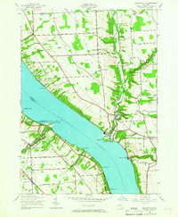
1942 Map of Ludlowville
USGS Topo · Published 1965About this map
Cayuga Lake dominates the center of this landscape, its steep eastern and western shores dotted with points like Taughannock Pt and Myers Pt. In the early 1940s, the area's geography was defined by deep gorges and industrial activity, most notably the Salt Works located near the mouth of Salmon Creek. This era of the Finger Lakes region shows a transition from local agricultural centers to industrial lakeside operations, with the Lehigh Valley railroad tracing the western shore and providing a vital link for the rural settlements.
Find a feature on this map
54 named features on this map. Tap any name to fly to it.
Don’t see what you’re looking for? This feature index may not catch every label — zoom into the map to look around manually.
Map Details
Editions of this 1942 Ludlowville Map
3 editions found
Other maps of this area

1893 · Ithaca
USGS Topo · 1:62,500

1895 · Ithaca
USGS Topo · 1:62,500

1898 · Moravia
USGS Topo · 1:62,500

1900 · Dryden
USGS Topo · 1:62,500

1902 · Moravia
USGS Topo · 1:62,500

1902 · Genoa
USGS Topo · 1:62,500

1905 · Watkins Glen
USGS Topo · 1:125,000

1906 · Catatonk
USGS Topo · 1:125,000

1942 · Ludlowville
USGS Topo · 1:24,000

1942 · Sheldrake
USGS Topo · 1:24,000