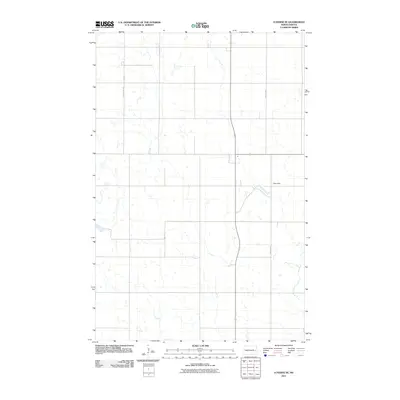
2011 Map of Luverne SE
USGS Topo · Published 2011About this map
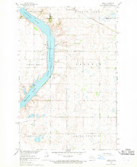
Hope Dam sits at the eastern edge of this northern prairie landscape, which is defined by a sparse network of section lines and intermittent drainage patterns. Surveyed by the U.S. Geological Survey, the area shows the structured grid of Steele County with County RD-4 and County HWY-8A providing the primary transit routes across the open terrain. The lack of concentrated settlements or industrial markers reflects a strictly agrarian character, where the topography is shaped by countless small depressional wetlands typical of this glaciated region. This survey captures the rural infrastructure before modern developments, preserving the specific placement of rural roads and water management features used in the early twenty-first century.
Find a feature on this map
3 named features on this map. Tap any name to fly to it.
Don’t see what you’re looking for? This feature index may not catch every label — zoom into the map to look around manually.
Map Details
Editions of this 2011 Luverne SE Map
This is the sole edition of this map. No revisions or reprints were ever made.
Other maps of this area

1952 · Grand Forks
USGS Topo · 1:250,000

1956 · Grand Forks
USGS Topo · 1:250,000

1966 · Grand Forks
USGS Topo · 1:250,000

1967 · Blabon
USGS Topo · 1:24,000
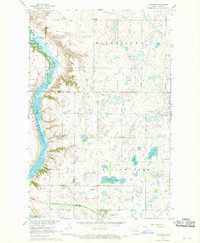
1967 · Luverne
USGS Topo · 1:24,000
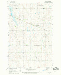
1967 · Pillsbury
USGS Topo · 1:24,000
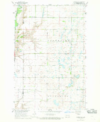
1967 · Luverne NW
USGS Topo · 1:24,000

1967 · Colgate
USGS Topo · 1:24,000
1967 · Sibley
USGS Topo · 1:24,000

1967 · Luverne SE
USGS Topo · 1:24,000
Featured Places
- Carpenter Township, ND
- Melrose Township, ND
- Riverside Township, ND
- Willow Lake Township, ND
- Steele County, ND