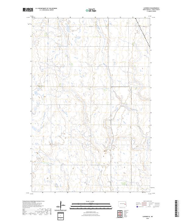
2024 Map of Luverne SE
USGS Topo · Published 2024About this map
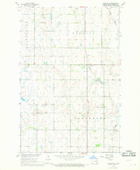
Maple River meanders south through the eastern half of this Steele County landscape, defining the topography of the region. This 2024 survey captures a rural environment structured by the Public Land Survey System, specifically within township and range divisions such as t145n r56w and t144n r56w. The terrain is marked by numerous small depressions and wetland pockets characteristic of the North Dakota prairie, scattered between the river valley and the uplands.
Find a feature on this map
12 named features on this map. Tap any name to fly to it.
Don’t see what you’re looking for? This feature index may not catch every label — zoom into the map to look around manually.
Map Details
Editions of this 2024 Luverne SE Map
This is the sole edition of this map. No revisions or reprints were ever made.
Other maps of this area

1952 · Grand Forks
USGS Topo · 1:250,000

1956 · Grand Forks
USGS Topo · 1:250,000
1966 · Grand Forks
USGS Topo · 1:250,000
1967 · Blabon
USGS Topo · 1:24,000
1967 · Luverne
USGS Topo · 1:24,000
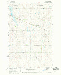
1967 · Pillsbury
USGS Topo · 1:24,000
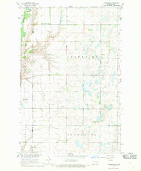
1967 · Luverne NW
USGS Topo · 1:24,000
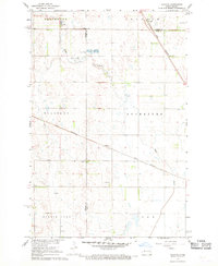
1967 · Colgate
USGS Topo · 1:24,000
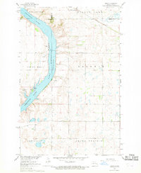
1967 · Sibley
USGS Topo · 1:24,000
1967 · Luverne SE
USGS Topo · 1:24,000
Featured Places
- Melrose Township, ND
- Willow Lake Township, ND
- Carpenter Township, ND
- Riverside Township, ND
- Steele County, ND