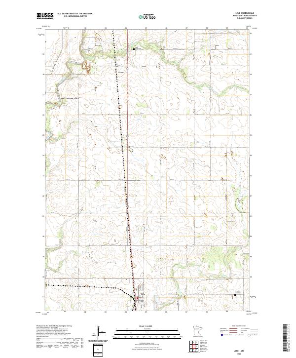
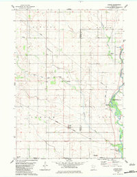
2022 Map of Lyle
USGS Topo · Published 2022About this map
Lyle anchors the southern edge of this landscape in southern Mower County, just north of the Iowa border. The agricultural character of the region is defined by a rigid grid of rural routes such as 160 ST and 130 ST that cross the plains between the Cedar River and its various tributaries. Waterways like Rose Cr and Otter Cr provide the primary relief to the terrain, with the Cedar River Trl following the river's path through the western sections of the township. Local history and genealogy are marked by the presence of Rose Creek Cem in the north and Six Mile Grove Cem in the southeast near the winding course of Otter Cr. The small community of Varco sits along the northern reaches of Co Hwy 105, reflecting the enduring settlement patterns of this farming district.
Find a feature on this map
28 named features on this map. Tap any name to fly to it.
Don’t see what you’re looking for? This feature index may not catch every label — zoom into the map to look around manually.
Map Details
Editions of this 2022 Lyle Map
This is the sole edition of this map. No revisions or reprints were ever made.
Other maps of this area

1954 · Hayward
USGS Topo · 1:62,500

1954 · Austin
USGS Topo · 1:62,500

1954 · Mason City
USGS Topo · 1:250,000

1957 · Mason City
USGS Topo · 1:250,000

1958 · Mason City
USGS Topo · 1:250,000

1972 · St. Ansgar
USGS Topo · 1:24,000
1972 · Stacyville
USGS Topo · 1:24,000
1972 · Carpenter
USGS Topo · 1:24,000
1982 · Austin East
USGS Topo · 1:24,000
1982 · London
USGS Topo · 1:24,000