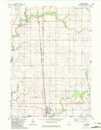
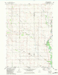
1982 Map of Lyle
USGS Topo · Published 1983About this map
The Cedar River corridor defines the western edge of this 1982 Mower County survey, where the river's winding path provides a stark contrast to the rigid grid of rural sections. At the southern border, the town of Lyle serves as a transportation hub where the Illinois Central Gulf railroad meets a north-south line of the Chicago Milwaukee St Paul and Pacific. This rail infrastructure supported the small settlements of Varco and Baldner, illustrating the transport-dependent economy of southern Minnesota during the late 20th century.
Find a feature on this map
22 named features on this map. Tap any name to fly to it.
Don’t see what you’re looking for? This feature index may not catch every label — zoom into the map to look around manually.
Map Details
Editions of this 1982 Lyle Map
This is the sole edition of this map. No revisions or reprints were ever made.
Other maps of this area

1954 · Hayward
USGS Topo · 1:62,500

1954 · Austin
USGS Topo · 1:62,500

1954 · Mason City
USGS Topo · 1:250,000

1957 · Mason City
USGS Topo · 1:250,000

1958 · Mason City
USGS Topo · 1:250,000

1972 · St. Ansgar
USGS Topo · 1:24,000
1972 · Stacyville
USGS Topo · 1:24,000
1972 · Carpenter
USGS Topo · 1:24,000
1982 · Austin East
USGS Topo · 1:24,000
1982 · London
USGS Topo · 1:24,000