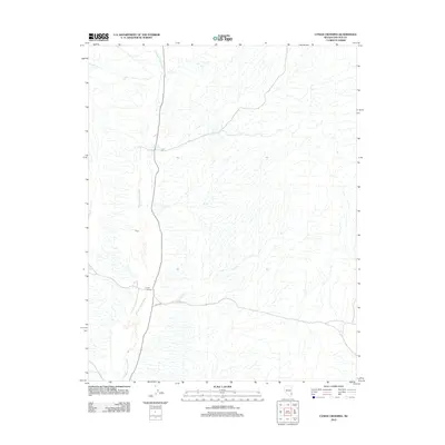
2012 Map of Lyman Crossing
USGS Topo · Published 2012About this map
Meadow Valley Wash defines the north-south axis of this high desert region in Lincoln County, carving a distinct corridor through the arid Nevada landscape. The 2012 survey illustrates a sparsely settled area where the most prominent human marker is Lyman Crossing, a localized point of transit where paths meet the wash. To the west, the label Cloud identifies a significant terrain feature, while the presence of Co Rd 4230 indicates the established modern infrastructure connecting this remote corner of the state. The map captures the subtle relationship between desert topography and the sparse network of rural roads that navigate the drainage patterns of the wash.
Find a feature on this map
4 named features on this map. Tap any name to fly to it.
Don’t see what you’re looking for? This feature index may not catch every label — zoom into the map to look around manually.
Map Details
Editions of this 2012 Lyman Crossing Map
This is the sole edition of this map. No revisions or reprints were ever made.
Other maps of this area

1885 · Pioche
USGS Topo · 1:250,000

1886 · Pioche
USGS Topo · 1:250,000

1954 · Caliente
USGS Topo · 1:250,000

1959 · Caliente
USGS Topo · 1:250,000

1969 · Elgin
USGS Topo · 1:24,000
1969 · Vigo
USGS Topo · 1:24,000
1969 · Vigo NE
USGS Topo · 1:24,000
1973 · Leith
USGS Topo · 1:24,000
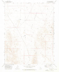
1973 · Toquop Gap
USGS Topo · 1:24,000
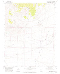
1973 · Blue Nose Peak
USGS Topo · 1:24,000