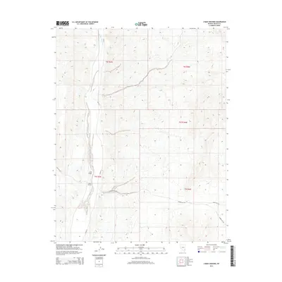
2014 Map of Lyman Crossing
USGS Topo · Published 2014About this map
Meadow Valley Wash winds through the heart of this high-desert landscape in Lincoln County, defining the drainage patterns and travel corridors of the region. The map highlights the modest settlements of Long Valley and Lyman Crossing, situated where the wash provides a natural break in the terrain. This 2014 survey documents a network of remote access points and desert thoroughfares, including the intersecting routes of Carp Rd and Rainbow Pass Rd. The cartography reveals a topography shaped by desert washes and passes, where small clusters of development are concentrated near reliable water sources and established crossroads. It captures a moment in the modern era of rural Nevada, where the intersection of natural geography and limited human infrastructure remains the primary driver of settlement distribution.
Find a feature on this map
13 named features on this map. Tap any name to fly to it.
Don’t see what you’re looking for? This feature index may not catch every label — zoom into the map to look around manually.
Map Details
Editions of this 2014 Lyman Crossing Map
This is the sole edition of this map. No revisions or reprints were ever made.
Other maps of this area

1885 · Pioche
USGS Topo · 1:250,000

1886 · Pioche
USGS Topo · 1:250,000

1954 · Caliente
USGS Topo · 1:250,000

1959 · Caliente
USGS Topo · 1:250,000

1969 · Elgin
USGS Topo · 1:24,000
1969 · Vigo
USGS Topo · 1:24,000
1969 · Vigo NE
USGS Topo · 1:24,000
1973 · Leith
USGS Topo · 1:24,000
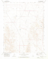
1973 · Toquop Gap
USGS Topo · 1:24,000
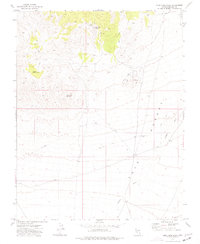
1973 · Blue Nose Peak
USGS Topo · 1:24,000