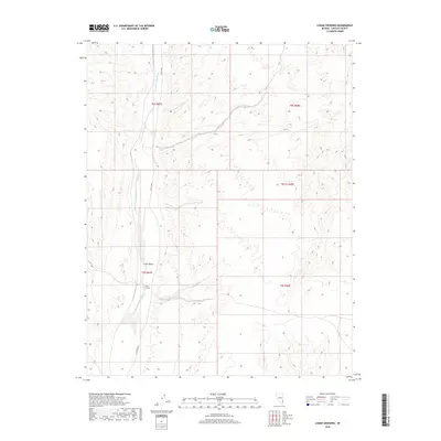
2018 Map of Lyman Crossing
USGS Topo · Published 2018About this map
Meadow Valley Wash defines the north-south axis of this high-desert landscape in Lincoln County, Nevada. This topographic study documents the drainage patterns and rugged terrain surrounding Lyman Crossing, where the wash meets the transition into the broader Long Valley to the north. The area is characterized by deep canyons and high ridges, with Co Rte 4230 providing the primary thoroughfare through the valley floor. The map highlights the complex topography of the public land survey system blocks, including township and range divisions such as t9s r67e and t8s r67e, revealing how the desert floor is segmented by intermittent watercourses and varying elevations.
Find a feature on this map
9 named features on this map. Tap any name to fly to it.
Don’t see what you’re looking for? This feature index may not catch every label — zoom into the map to look around manually.
Map Details
Editions of this 2018 Lyman Crossing Map
This is the sole edition of this map. No revisions or reprints were ever made.
Other maps of this area

1885 · Pioche
USGS Topo · 1:250,000

1886 · Pioche
USGS Topo · 1:250,000

1954 · Caliente
USGS Topo · 1:250,000

1959 · Caliente
USGS Topo · 1:250,000

1969 · Elgin
USGS Topo · 1:24,000
1969 · Vigo
USGS Topo · 1:24,000
1969 · Vigo NE
USGS Topo · 1:24,000
1973 · Leith
USGS Topo · 1:24,000
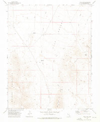
1973 · Toquop Gap
USGS Topo · 1:24,000
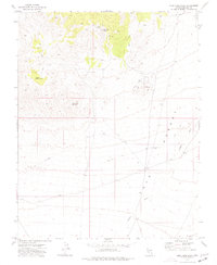
1973 · Blue Nose Peak
USGS Topo · 1:24,000