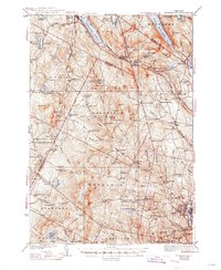
1939 Map of Lyndonville
USGS Topo · Published 1947About this map
Lyndonville and the Passumpsic River corridor anchor this late 1930s survey of Vermont's Northeast Kingdom, where the Canadian Pacific railroad parallels a landscape defined by dramatic glacial features. The map illustrates a rural economy organized around crossroads and school districts, with nearly two dozen local schools such as Old Red Sch and Squabble Hollow Sch serving the high ridges and valley floors. To the north, the deep waters of Lake Willoughby are flanked by the steep profiles of Mt Pisgah and Mt Hor, highlighting the region's sharp topographic relief.
Find a feature on this map
123 named features on this map. Tap any name to fly to it.
Don’t see what you’re looking for? This feature index may not catch every label — zoom into the map to look around manually.
Map Details
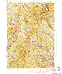
Editions of this 1939 Lyndonville Map
3 editions found

Other maps of this area

1919 · Lake Memphremagog
USGS Topo · 1:62,500

1920 · Derby
USGS Topo · 1:62,500

1920 · Irasburg
USGS Topo · 1:62,500

1923 · Irasburg
USGS Topo · 1:48,000

1923 · Lake Memphremagog
USGS Topo · 1:48,000

1924 · Island Pond
USGS Topo · 1:48,000

1925 · Irasburg
USGS Topo · 1:62,500

1925 · Memphremagog
USGS Topo · 1:62,500

1926 · Island Pond
USGS Topo · 1:62,500

1928 · Hardwick
USGS Topo · 1:62,500