
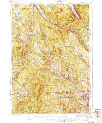
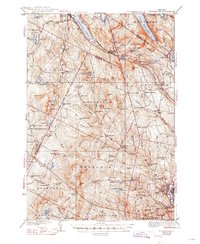
1939 Map of Lyndonville
USGS Topo · Published 1939About this map
Lyndonville and the surrounding villages of Lyndon, Sutton, and Sheffield serve as the primary hubs in this late-1930s survey of Vermont's Northeast Kingdom. The region is defined by its deep glacial lakes and prominent peaks, most notably the dramatic corridor of Lake Willoughby flanked by Mt Pisgah and Mt Hor. The Canadian Pacific railroad cuts through the terrain, connecting small stations like Willoughby Sta and Summit Sta, which served as critical links for the agricultural and timber economies of the day.
Find a feature on this map
113 named features on this map. Tap any name to fly to it.
Don’t see what you’re looking for? This feature index may not catch every label — zoom into the map to look around manually.
Map Details
Editions of this 1939 Lyndonville Map
3 editions found
Other maps of this area

1919 · Lake Memphremagog
USGS Topo · 1:62,500

1920 · Derby
USGS Topo · 1:62,500

1920 · Irasburg
USGS Topo · 1:62,500

1923 · Irasburg
USGS Topo · 1:48,000

1923 · Lake Memphremagog
USGS Topo · 1:48,000

1924 · Island Pond
USGS Topo · 1:48,000

1925 · Irasburg
USGS Topo · 1:62,500

1925 · Memphremagog
USGS Topo · 1:62,500

1926 · Island Pond
USGS Topo · 1:62,500

1928 · Hardwick
USGS Topo · 1:62,500