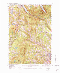
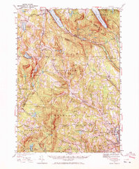
1951 Map of Lyndonville
USGS Topo · Published 1980About this map
Lake Willoughby and Crystal Lake anchor this mid-century portrait of the Vermont uplands, where the Canadian Pacific railroad traces the corridor through Barton and past the Sutton Sta depot. The landscape is a network of ridges and valley settlements, from the concentrated hub at Lyndonville to the higher elevations of Sheffield Square and West Glover. In the southeast, the academic presence of Lyndon Teachers College stands near the confluence of Calendar Brook and the Passumpsic River.
Find a feature on this map
111 named features on this map. Tap any name to fly to it.
Don’t see what you’re looking for? This feature index may not catch every label — zoom into the map to look around manually.
Map Details
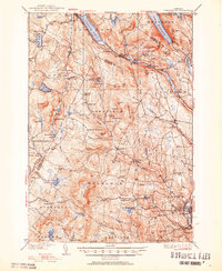
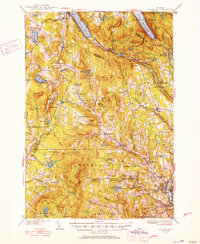
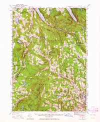
Editions of this 1951 Lyndonville Map
5 editions found
Other maps of this area

1919 · Lake Memphremagog
USGS Topo · 1:62,500

1920 · Derby
USGS Topo · 1:62,500

1920 · Irasburg
USGS Topo · 1:62,500

1923 · Irasburg
USGS Topo · 1:48,000

1923 · Lake Memphremagog
USGS Topo · 1:48,000

1924 · Island Pond
USGS Topo · 1:48,000

1925 · Irasburg
USGS Topo · 1:62,500

1925 · Memphremagog
USGS Topo · 1:62,500

1926 · Island Pond
USGS Topo · 1:62,500

1928 · Hardwick
USGS Topo · 1:62,500