Loading...
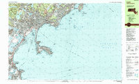
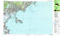
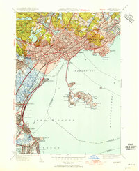
Loading map...1985 Map of Lynn
USGS Topo · Published 1985About this map
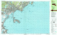
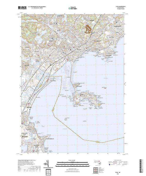
Lynn Woods dominates the northwestern corner of this coastal study, a large municipal forest and parkland characterized by elevations like Mt Gilead and Mt Moriah. The urban core of Lynn spreads southeastward toward the Atlantic, with its industrial and civic history reflected in labels for the Post Office, City Hall, and the Lynnway. This 1985 edition documents a dense residential and academic landscape, featuring numerous neighborhood schools such as Cobbet Sch and English High Sch.
Find a feature on this map
148 named features on this map. Tap any name to fly to it.
Don’t see what you’re looking for? This feature index may not catch every label — zoom into the map to look around manually.
Map Details
Date Portrayed1985
Date Published1985
PublisherU.S. Geological Survey
Map TypeTopographic
Scale1:25000
Physical Dimensions39.8 x 24 inches
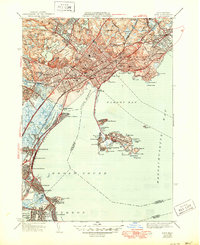
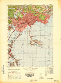
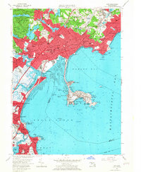
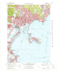
Editions of this 1985 Lynn Map
2 editions found
Historical Maps of Boston Through Time
11 maps found


Featured Locations
Source Details
SourceU.S. Geological Survey
CopyrightPublic Domain