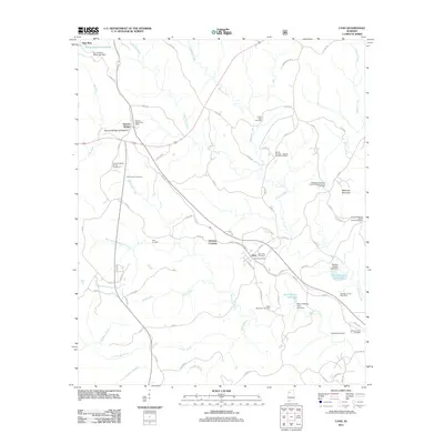
2011 Map of Lynn
USGS Topo · Published 2011About this map
Natural Bridge of Alabama stands as a prominent landmark in this region of Winston County, located near the settlement of Natural Bridge. The landscape is a network of small watercourses like Splunge Creek, Meadow Creek, and Blackwater Creek that define the local topography. The town of Lynn serves as a primary hub, containing the Lynn Post Office and Lynn City Cemetery.
Find a feature on this map
83 named features on this map. Tap any name to fly to it.
Don’t see what you’re looking for? This feature index may not catch every label — zoom into the map to look around manually.
Map Details
Editions of this 2011 Lynn Map
This is the sole edition of this map. No revisions or reprints were ever made.
Other maps of this area

1893 · Jasper
USGS Topo · 1:125,000

1936 · Delmar
USGS Topo · 1:24,000

1936 · Goddard
USGS Topo · 1:24,000

1949 · Nauvoo
USGS Topo · 1:24,000

1950 · Nauvoo
USGS Topo · 1:24,000

1953 · Birmingham
USGS Topo · 1:250,000

1956 · Birmingham
USGS Topo · 1:250,000

1956 · Gadsden
USGS Topo · 1:250,000

1957 · Birmingham
USGS Topo · 1:250,000

1958 · Gadsden
USGS Topo · 1:250,000