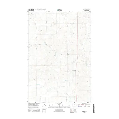
2014 Map of Lynwood
USGS Topo · Published 2014About this map
Lynwood sits at the junction of ND-6 and CR-137, serving as a central point in this Morton County landscape. The area is defined by the complex drainage system of the Little Heart River, which meanders across the territory. This 2014 survey documents the convergence of several major tributaries, including the N Br Little Heart River, the S Br Little Heart River, and the Southeast Br Little Heart River. The map shows a strictly organized grid of rural section roads, such as 46th St and 25th Ave, which partition the undulating prairie. This topographic study captures the rural character of the region south of Mandan, where the hydrography of the Heart River basin dictates the placement of roads and small settlements.
Find a feature on this map
21 named features on this map. Tap any name to fly to it.
Don’t see what you’re looking for? This feature index may not catch every label — zoom into the map to look around manually.
Map Details
Editions of this 2014 Lynwood Map
This is the sole edition of this map. No revisions or reprints were ever made.
Other maps of this area

1907 · Bismarck
USGS Topo · 1:125,000

1950 · Bismarck
USGS Topo · 1:24,000

1951 · Bismarck
USGS Topo · 1:62,500

1951 · Mandan
USGS Topo · 1:24,000

1954 · Bismarck
USGS Topo · 1:250,000

1958 · Bismarck
USGS Topo · 1:250,000

1962 · Schmidt
USGS Topo · 1:24,000

1962 · Bismarck
USGS Topo · 1:24,000

1962 · Mandan
USGS Topo · 1:24,000

1972 · Crown Butte Lake
USGS Topo · 1:24,000