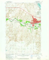
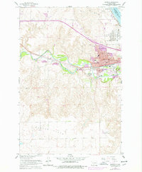
1962 Map of Mandan
USGS Topo · Published 1964About this map
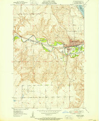
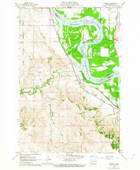
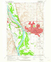
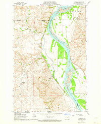
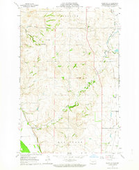
Mandan is depicted during a period of significant industrial and institutional growth, situated at the strategic confluence of the Heart River and the Missouri River. The landscape is dominated by the sprawling infrastructure of the Northern Pacific railroad and a massive energy corridor featuring an Oil Refinery, a large Tank Farm, and a prominent Powerplant along the riverbank. This map reveals a community deeply invested in education and research, showing the Great Plains Experiment Station and the State Training School alongside several local institutions like St Joseph Sch and Lewis and Clark Sch. The transition from the rugged river breaks to the open terrain of Custer Flats provides a clear view of the area's physical geography before modern suburban expansion, preserving the location of early landmarks like the Rodeo Grounds and Sunny.
Find a feature on this map
36 named features on this map. Tap any name to fly to it.
Don’t see what you’re looking for? This feature index may not catch every label — zoom into the map to look around manually.
Map Details
Editions of this 1962 Mandan Map
2 editions found
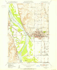
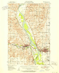
Other maps of this area

1907 · Bismarck
USGS Topo · 1:125,000
1950 · Bismarck
USGS Topo · 1:24,000
1951 · Bismarck
USGS Topo · 1:62,500
1951 · Mandan
USGS Topo · 1:24,000

1954 · Bismarck
USGS Topo · 1:250,000

1958 · Bismarck
USGS Topo · 1:250,000
1962 · Schmidt
USGS Topo · 1:24,000
1962 · Bismarck
USGS Topo · 1:24,000
1962 · Harmon
USGS Topo · 1:24,000
1962 · Burnt Butte
USGS Topo · 1:24,000