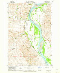
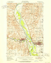
1962 Map of Harmon
USGS Topo · Published 1964About this map
The Missouri River corridor north of Bismarck is defined here by the sharp contrast between the fertile river bottomlands and the rugged breaks of the Missouri Plateau. Along the western bank, the Northern Pacific railroad tracks hug the base of the bluffs, passing through the small community of Harmon and the surrounding agricultural landscape. This 1962 survey documents the rural educational infrastructure of Morton Co with sites like Square Butte School No 1 and Square Butte School No 2 still prominent on the landscape. Across the water in Burleigh Co, the Double Ditch Indian Village marks a significant archaeological site overlooking the river, situated near Glenview and the recreational grounds of Eagles Park. The drainage patterns of Square Butte Creek and Otter Creek illustrate the historical erosion that shaped this section of the Missouri valley.
Find a feature on this map
14 named features on this map. Tap any name to fly to it.
Don’t see what you’re looking for? This feature index may not catch every label — zoom into the map to look around manually.
Map Details
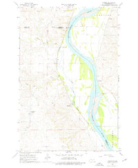
Editions of this 1962 Harmon Map
2 editions found
Other maps of this area

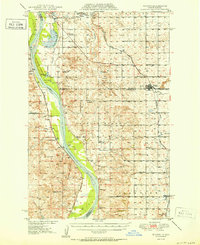
1907 · Bismarck
USGS Topo · 1:125,000
1950 · Wilton
USGS Topo · 1:62,500
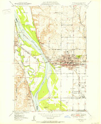
1950 · Bismarck
USGS Topo · 1:24,000
1951 · Bismarck
USGS Topo · 1:62,500
1951 · Mandan
USGS Topo · 1:24,000

1954 · Bismarck
USGS Topo · 1:250,000

1954 · McClusky
USGS Topo · 1:250,000

1958 · Bismarck
USGS Topo · 1:250,000

1958 · McClusky
USGS Topo · 1:250,000
1962 · Bismarck
USGS Topo · 1:24,000