Loading...
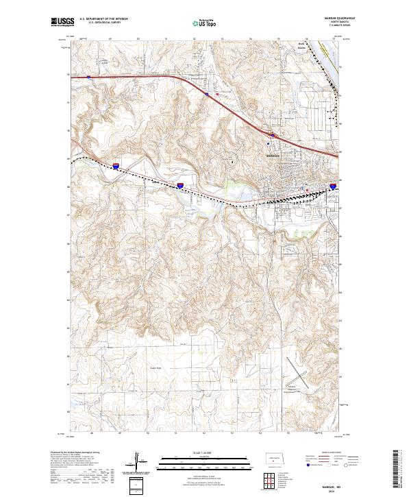
Loading map...1962 Map of Mandan
USGS Topo · Published 1977About this map
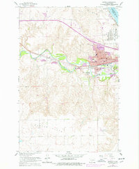
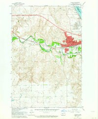
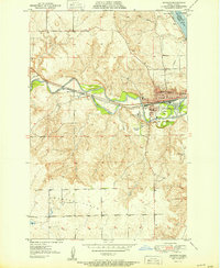
Mandan's industrial and educational infrastructure is clearly defined in this mid-century survey, revealing a landscape shaped by its position at the confluence of the Heart River and the Missouri River. The rail presence of the Northern Pacific anchors the town's development, while the northern edge is dominated by a substantial Tank Farm and Oil Refinery near Rock Haven. These facilities, coupled with the nearby Mandan Municipal Airport, emphasize the importance of the region as a transportation and energy hub.
Find a feature on this map
38 named features on this map. Tap any name to fly to it.
Don’t see what you’re looking for? This feature index may not catch every label — zoom into the map to look around manually.
Map Details
Date Portrayed1962
Date Published1977
PublisherU.S. Geological Survey
Map TypeTopographic
Scale1:24,000
Physical Dimensions22 x 26.8 inches
Editions of this 1962 Mandan Map
2 editions found
Historical Maps of Mandan Through Time
7 maps found
Featured Locations
Source Details
SourceU.S. Geological Survey
CopyrightPublic Domain