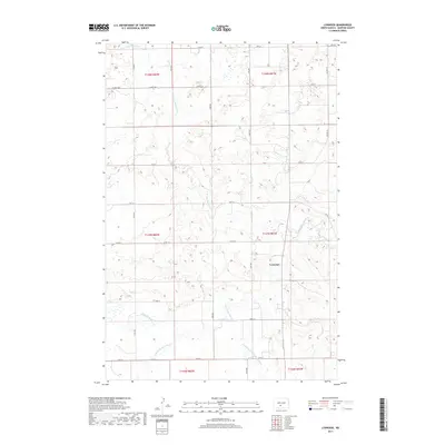
2017 Map of Lynwood
USGS Topo · Published 2017About this map
The Little Heart River and its various tributaries define the hydrology of this Morton County landscape, creating a network of drainage patterns across the prairie. The settlement of Lynwood serves as a primary point of reference in a region characterized by section-line roads and wide-reaching agricultural lands. Notable watercourses including the N Br Little Heart River and the S Br Little Heart River converge here, alongside the Southeast Br Little Heart River, illustrating how the local terrain is carved by these seasonal flows.
Find a feature on this map
27 named features on this map. Tap any name to fly to it.
Don’t see what you’re looking for? This feature index may not catch every label — zoom into the map to look around manually.
Map Details
Editions of this 2017 Lynwood Map
This is the sole edition of this map. No revisions or reprints were ever made.
Other maps of this area

1907 · Bismarck
USGS Topo · 1:125,000

1950 · Bismarck
USGS Topo · 1:24,000

1951 · Bismarck
USGS Topo · 1:62,500

1951 · Mandan
USGS Topo · 1:24,000

1954 · Bismarck
USGS Topo · 1:250,000

1958 · Bismarck
USGS Topo · 1:250,000

1962 · Schmidt
USGS Topo · 1:24,000

1962 · Bismarck
USGS Topo · 1:24,000

1962 · Mandan
USGS Topo · 1:24,000

1972 · Crown Butte Lake
USGS Topo · 1:24,000