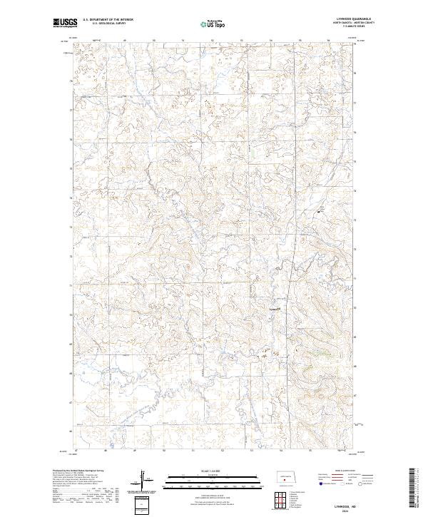
2024 Map of Lynwood
USGS Topo · Published 2024About this map
Lynwood sits near the heart of this Morton County landscape, where the prairie is defined by the complex drainage system of the Little Heart River. This hydrographic network includes several major tributaries that converge in this area, including the North Branch Little Heart River, the South Branch Little Heart River, and the Southeast Branch Little Heart River. The map documents a predominantly rural section of North Dakota organized by the Public Land Survey System, featuring township boundaries such as t137n r81w and t138n r81w. Aside from the small cluster of development at Lynwood, the most significant landmark for local history and genealogy is Saint Johns Cem, located in the northeastern portion of the sheet. The area's road network, composed of routes like Co HWY 81 and Co RD 137, follows the grid-like pattern typical of the Great Plains' agricultural interior.
Find a feature on this map
28 named features on this map. Tap any name to fly to it.
Don’t see what you’re looking for? This feature index may not catch every label — zoom into the map to look around manually.
Map Details
Editions of this 2024 Lynwood Map
This is the sole edition of this map. No revisions or reprints were ever made.
Other maps of this area

1907 · Bismarck
USGS Topo · 1:125,000

1950 · Bismarck
USGS Topo · 1:24,000

1951 · Bismarck
USGS Topo · 1:62,500

1951 · Mandan
USGS Topo · 1:24,000

1954 · Bismarck
USGS Topo · 1:250,000

1958 · Bismarck
USGS Topo · 1:250,000

1962 · Schmidt
USGS Topo · 1:24,000

1962 · Bismarck
USGS Topo · 1:24,000

1962 · Mandan
USGS Topo · 1:24,000

1972 · Crown Butte Lake
USGS Topo · 1:24,000