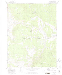
1980 Map of Lynx Pass
USGS Topo · Published 1986About this map
Routt National Forest dominates this mountain landscape at the boundary of Routt and Grand counties, where the Continental Divide's influence is felt through a network of creeks and high-altitude parks. The map highlights the prominent Muddy Slide and the strategic Lynx Pass, which serves as a gateway between drainages. Long-standing water rights and land use are evident in the presence of Bulkley Reservoir and Hadley Reservoir, alongside numerous family-named landmarks like Jolley Creek and Coberly Gulch.
Find a feature on this map
37 named features on this map. Tap any name to fly to it.
Don’t see what you’re looking for? This feature index may not catch every label — zoom into the map to look around manually.
Map Details
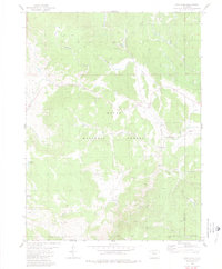
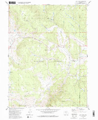
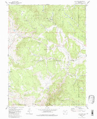
Editions of this 1980 Lynx Pass Map
4 editions found
Other maps of this area

1954 · Craig
USGS Topo · 1:250,000

1956 · Gore Pass
USGS Topo · 1:62,500

1957 · Craig
USGS Topo · 1:250,000

1957 · Leadville
USGS Topo · 1:250,000

1958 · Craig
USGS Topo · 1:250,000

1959 · Leadville
USGS Topo · 1:250,000

1960 · Leadville
USGS Topo · 1:250,000

1960 · Craig
USGS Topo · 1:250,000

1962 · Leadville
USGS Topo · 1:250,000

1962 · Craig
USGS Topo · 1:250,000