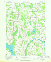
1955 Map of Lysander
USGS Topo · Published 1968About this map
Seneca River and the Erie Canal dominate the southern landscape of this mid-1950s survey, where the waterway bends around Maloney Island. The map records a rural interior defined by the convergence of Oswego, Onondaga, and Cayuga counties, with the Delaware Lackawanna and Western Railroad cutting through the northeastern corner near South Granby. Small hamlets such as Lysander, Plainville, and The Kingdom serve as local hubs, connected by a dense network of named country roads like Jacksonville Road and Jordan Road.
Find a feature on this map
69 named features on this map. Tap any name to fly to it.
Don’t see what you’re looking for? This feature index may not catch every label — zoom into the map to look around manually.
Map Details
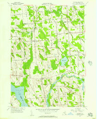
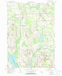
Editions of this 1955 Lysander Map
3 editions found
Other maps of this area

1900 · Baldwinsville
USGS Topo · 1:62,500

1900 · Oswego
USGS Topo · 1:62,500

1900 · Fulton
USGS Topo · 1:62,500

1902 · Weedsport
USGS Topo · 1:62,500

1943 · Jordan
USGS Topo · 1:31,680

1943 · Lysander
USGS Topo · 1:31,680

1943 · Cato
USGS Topo · 1:31,680

1943 · Pennellville
USGS Topo · 1:31,680

1943 · Hannibal
USGS Topo · 1:31,680

1943 · Weedsport
USGS Topo · 1:31,680