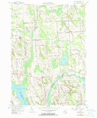
1955 Map of Lysander
USGS Topo · Published 1990About this map
The Seneca River winds through this Central New York landscape, defining the border between the townships of Lysander and Van Buren. In the mid-1950s, the area remained largely rural, characterized by small crossroads settlements like Plainville and Little Utica. The historic Erie Canal cuts across the southeastern corner near Maloney Island, serving as a legacy of the region's transport history alongside the modern river channel. North of the river, the terrain is marked by numerous drumlins—distinctive elongated hills—that influence the winding path of local roads such as Lamson Road and Avery Road. Genealogists will find several burial sites including Adams Cem and Kingdom Cem, the latter situated near the uniquely named settlement of The Kingdom. To the west, the map captures the northern tip of Cross Lake, where the boundary of Cayuga County meets Onondaga County.
Find a feature on this map
69 named features on this map. Tap any name to fly to it.
Don’t see what you’re looking for? This feature index may not catch every label — zoom into the map to look around manually.
Map Details
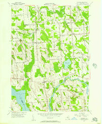
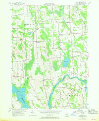
Editions of this 1955 Lysander Map
3 editions found
Other maps of this area

1900 · Baldwinsville
USGS Topo · 1:62,500

1900 · Oswego
USGS Topo · 1:62,500

1900 · Fulton
USGS Topo · 1:62,500

1902 · Weedsport
USGS Topo · 1:62,500

1943 · Jordan
USGS Topo · 1:31,680

1943 · Lysander
USGS Topo · 1:31,680

1943 · Cato
USGS Topo · 1:31,680

1943 · Pennellville
USGS Topo · 1:31,680

1943 · Hannibal
USGS Topo · 1:31,680

1943 · Weedsport
USGS Topo · 1:31,680