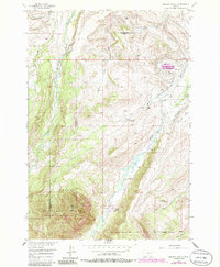
1956 Map of Mackay Ranch
USGS Topo · Published 1986About this map
Mackay Ranch (Lazy El) and other established holdings anchor this mid-century look at the eastern edge of the Beartooth range. The landscape reflects a sophisticated ranching economy defined by an intricate network of irrigation systems, including the Peabody Canal, Phillips Ditch, and Miller Ditch, which redirect water from the Rosebud Creek drainage to the high benches. The transition from public to private land is starkly marked by the Forest Boundary, where the open range gives way to the protected heights of Custer National Forest and the Absaroka-Beartooth Wilderness. A small oil well and a private landing strip near the ranch headquarters suggest the diversifying uses of these Montana lands during the 1950s. The topographic detail follows the steep rise toward Black Butte, overlooking the expansive Antelope Basin and the irrigation-dependent pastures of Coleman Bench.
Find a feature on this map
35 named features on this map. Tap any name to fly to it.
Don’t see what you’re looking for? This feature index may not catch every label — zoom into the map to look around manually.
Map Details
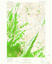
Editions of this 1956 Mackay Ranch Map
3 editions found
Other maps of this area

1898 · Granite Mountain District
USGS Topo · 1:125,000

1932 · Red Lodge No 2
USGS Topo · 1:48,000

1932 · Nye No 1
USGS Topo · 1:48,000

1954 · Billings
USGS Topo · 1:250,000
1956 · Emerald Lake
USGS Topo · 1:24,000
1956 · Fishtail
USGS Topo · 1:24,000

1956 · Roscoe
USGS Topo · 1:24,000

1956 · Alpine
USGS Topo · 1:62,500

1956 · Mackay Ranch
USGS Topo · 1:24,000

1956 · Roscoe NW
USGS Topo · 1:24,000