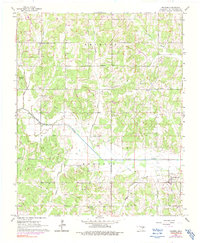
1965 Map of Macomb
USGS Topo · Published 1991About this map
Macomb and the surrounding rural communities of Pottawatomie County are defined by a mid-century landscape of petroleum extraction and winding waterways. The economy of the era is clearly visible through the West Morvin Oil Field and Burnett Oil Field, with numerous Oil Wells and a Pumping Station scattered across the township. The Little River bisects the area, joined by a network of creeks including Bullfrog Creek and Council Creek, providing the primary drainage for this transition between upland and bottomland.
Find a feature on this map
26 named features on this map. Tap any name to fly to it.
Don’t see what you’re looking for? This feature index may not catch every label — zoom into the map to look around manually.
Map Details
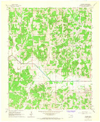
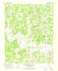
Editions of this 1965 Macomb Map
3 editions found
Other maps of this area

1896 · Seminole and Prague
USGS Topo · 1:125,000

1898 · Purcell
USGS Topo · 1:125,000

1907 · Maud
USGS Topo · 1:62,500

1908 · Maud
USGS Topo · 1:62,500

1909 · Shawnee
USGS Topo · 1:62,500

1910 · McComb
USGS Topo · 1:62,500

1930 · McLoud
USGS Topo · 1:62,500

1954 · Oklahoma City
USGS Topo · 1:250,000
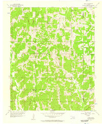
1956 · Stella
USGS Topo · 1:24,000

1957 · Oklahoma City
USGS Topo · 1:250,000