1948 Map of Madison
USGS Topo · Published 1960About this map
The Huntsville Arsenal Boundary dominates the eastern and southern portions of this landscape, reflecting a massive shift in land use during the mid-twentieth century. While the town of Madison sits along the Southern Railway in the west, much of the surrounding area is defined by military operations and conservation. The Huntsville Arsenal Airfield and Huntsville Arsenal Headquarters are positioned near the center of the sheet, surrounded by older landmarks like Rainbow Mountain and Madkin Mountain. In the south, the Wheeler Reservoir and the Wheeler National Wildlife Refuge mark the flooded lowlands created by the Tennessee Valley Authority. This transition from a traditional rail-oriented settlement at Madison to a landscape of federal military and environmental management is clearly visible through the network of country churches like Fletcher Chapel and rural schools such as the Lincoln Sch that remain scattered throughout the quadrangle.
Find a feature on this map
52 named features on this map. Tap any name to fly to it.
Don’t see what you’re looking for? This feature index may not catch every label — zoom into the map to look around manually.
Map Details
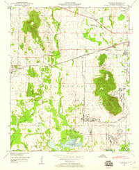
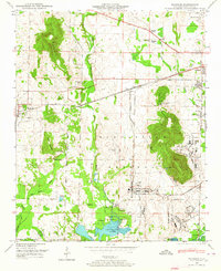
Editions of this 1948 Madison Map
2 editions found
Other maps of this area

1888 · Huntsville
USGS Topo · 1:125,000

1892 · Huntsville
USGS Topo · 1:125,000

1936 · Jeff
USGS Topo · 1:24,000

1936 · Capshaw
USGS Topo · 1:24,000
1936 · Triana
USGS Topo · 1:24,000

1936 · Madison
USGS Topo · 1:24,000

1936 · Meridianville
USGS Topo · 1:24,000

1936 · Mason Ridge
USGS Topo · 1:24,000

1936 · Greenbrier
USGS Topo · 1:24,000

1936 · Farley
USGS Topo · 1:24,000