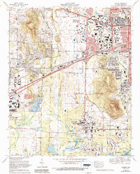
1975 Map of Madison
USGS Topo · Published 1993About this map
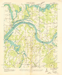
The Marshall Space Flight Center (NASA) and the Redstone Arsenal dominate this landscape during a period of significant aerospace expansion. Located west of Huntsville, the region shows a mix of military-industrial land use and emerging residential suburbs such as Skyline Acres and Sherwood Park. The presence of the University of Alabama in Huntsville and the Alabama Space and Rocket Center highlights the area's specialized role in the American space program.
Find a feature on this map
82 named features on this map. Tap any name to fly to it.
Don’t see what you’re looking for? This feature index may not catch every label — zoom into the map to look around manually.
Map Details
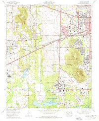
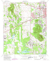
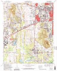
Editions of this 1975 Madison Map
4 editions found
Other maps of this area

1888 · Huntsville
USGS Topo · 1:125,000

1892 · Huntsville
USGS Topo · 1:125,000

1936 · Jeff
USGS Topo · 1:24,000

1936 · Capshaw
USGS Topo · 1:24,000
1936 · Triana
USGS Topo · 1:24,000

1936 · Madison
USGS Topo · 1:24,000

1936 · Meridianville
USGS Topo · 1:24,000

1936 · Mason Ridge
USGS Topo · 1:24,000

1936 · Greenbrier
USGS Topo · 1:24,000

1936 · Farley
USGS Topo · 1:24,000