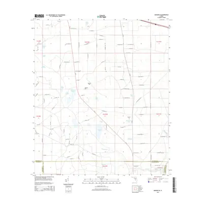
2015 Map of Madison SE
USGS Topo · Published 2015About this map
Tenmile Pond and Twelvemile Pond anchor a landscape defined by North Florida's unique karst topography and hydrological network. This 2015 study details a region where surface waters frequently interact with the underlying aquifer through features like Mitchel Sink and Johnson Sink. The terrain is marked by numerous isolated water bodies such as Bacolson Lake, Hicks Lake, and Winquepin Pond, while Blacksnake Cr and Bethel Cr drain the southern reaches. The map documents the rural intersection of Madison, Taylor, and Lafayette counties, where the sparse human footprint is recorded in family-named routes and the Winquepin Cem. This topographic data provides a precise record of the natural depressions and waterholes, including Williams Waterhole, that serve as critical landmarks in this heavily wooded and swampy interior.
Find a feature on this map
104 named features on this map. Tap any name to fly to it.
Don’t see what you’re looking for? This feature index may not catch every label — zoom into the map to look around manually.
Map Details
Editions of this 2015 Madison SE Map
This is the sole edition of this map. No revisions or reprints were ever made.
Other maps of this area

1954 · Day
USGS Topo · 1:24,000

1954 · Dowling Park
USGS Topo · 1:24,000

1954 · Day NW
USGS Topo · 1:24,000

1954 · Valdosta
USGS Topo · 1:250,000

1958 · Valdosta
USGS Topo · 1:250,000

1958 · Madison SW
USGS Topo · 1:24,000

1958 · Madison SE
USGS Topo · 1:24,000

1958 · Lee
USGS Topo · 1:24,000

1959 · Valdosta
USGS Topo · 1:250,000

1959 · Madison
USGS Topo · 1:24,000