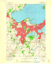
1959 Map of Madison West
USGS Topo · Published 1960About this map
Lake Mendota and Lake Monona define the mid-century urban expansion of Madison, where the state capital’s academic and civic institutions are deeply integrated with the glacial landscape. The University of Wisconsin campus dominates the southern shore of University Bay, stretching toward the University of Wisconsin Arboretum and the shores of Lake Wingra. This era shows a city in transition, with dense residential development in Shorewood Hills and Maple Bluff contrasted by the remaining open land in Fitchburg to the south.
Find a feature on this map
78 named features on this map. Tap any name to fly to it.
Don’t see what you’re looking for? This feature index may not catch every label — zoom into the map to look around manually.
Map Details
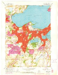
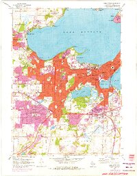
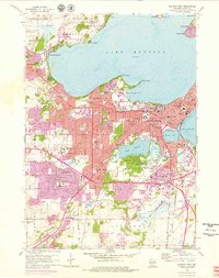
Editions of this 1959 Madison West Map
4 editions found
Other maps of this area

1889 · Evansville
USGS Topo · 1:62,500

1890 · Madison
USGS Topo · 1:62,500

1892 · Madison
USGS Topo · 1:62,500

1894 · Evansville
USGS Topo · 1:62,500

1904 · Madison
USGS Topo · 1:62,500

1906 · Evansville
USGS Topo · 1:62,500

1906 · Madison
USGS Topo · 1:62,500

1907 · Cross Plains
USGS Topo · 1:62,500

1909 · Cross Plains
USGS Topo · 1:62,500

1923 · New Glarus
USGS Topo · 1:62,500