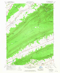
1966 Map of Madisonburg
USGS Topo · Published 1968About this map
Madisonburg and Hublersburg sit at the base of the ridges in this portion of Centre County, where the narrow valleys of central Pennsylvania dictated the layout of 1960s farming and settlement. The landscape is defined by the massive Nittany Mountain and Brush Mountain, which separate the Nittany Valley, Sugar Valley Run, and Penn Valley. This topography created natural corridors for transport and water, such as Little Fishing Creek and Penns Creek.
Find a feature on this map
52 named features on this map. Tap any name to fly to it.
Don’t see what you’re looking for? This feature index may not catch every label — zoom into the map to look around manually.
Map Details
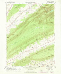
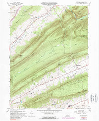
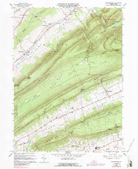
Editions of this 1966 Madisonburg Map
4 editions found
Other maps of this area

1921 · Howard
USGS Topo · 1:48,000

1921 · Lock Haven
USGS Topo · 1:62,500

1923 · Howard
USGS Topo · 1:62,500

1923 · Lock Haven
USGS Topo · 1:62,500

1924 · Centre Hall
USGS Topo · 1:62,500

1929 · Centre Hall
USGS Topo · 1:62,500

1937 · Millheim
USGS Topo · 1:48,000

1941 · Millheim
USGS Topo · 1:62,500

1943 · Lewistown
USGS Topo · 1:125,000

1944 · Lock Haven
USGS Topo · 1:62,500