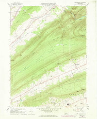
1966 Map of Madisonburg
USGS Topo · Published 1973About this map
Madisonburg sits at the base of Nittany Mountain, anchoring a landscape of tight agricultural valleys and steep timbered ridges in central Pennsylvania. This 1966 field-checked survey reveals the deep-rooted rural character of Miles Valley and Sugar Valley, where small settlements like Hublersburg and Snydertown follow the corridors of Little Fishing Creek. The map documents a classic Appalachian ridge-and-valley settlement pattern, with homesteads concentrated along the level floor of Penn Valley while the surrounding heights like Brush Mountain and Big Kettle Mountain remain mostly undeveloped. Notable local landmarks include the Veiled Lady Cave and the Penna Valley Area High Sch near Green Grove. For genealogists and local historians, the placement of St Marks Ch, Trinity Ch, and several unnamed Cem plots offers a detailed view of the community's social geography during the mid-20th century.
Find a feature on this map
45 named features on this map. Tap any name to fly to it.
Don’t see what you’re looking for? This feature index may not catch every label — zoom into the map to look around manually.
Map Details
Editions of this 1966 Madisonburg Map
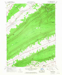
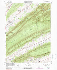
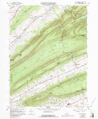
4 editions found
Other maps of this area

1921 · Howard
USGS Topo · 1:48,000

1921 · Lock Haven
USGS Topo · 1:62,500

1923 · Howard
USGS Topo · 1:62,500

1923 · Lock Haven
USGS Topo · 1:62,500

1924 · Centre Hall
USGS Topo · 1:62,500

1929 · Centre Hall
USGS Topo · 1:62,500

1937 · Millheim
USGS Topo · 1:48,000

1941 · Millheim
USGS Topo · 1:62,500

1943 · Lewistown
USGS Topo · 1:125,000

1944 · Lock Haven
USGS Topo · 1:62,500