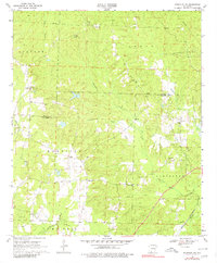
1969 Map of Magnolia NW
USGS Topo · Published 1980About this map
Glenville and College Hill anchor this rural landscape along the Nevada and Columbia County line in southern Arkansas. This 1969 field-checked survey reveals an economy deeply tied to natural resources, defined by the Stephens Oil and Gas Field and its northern extensions. The St Louis Southwestern railroad cuts through the southeastern corner, serving as a vital transport link for the region's industry. Small community landmarks like Davidson Ch and the Glenville Lookout Tower provide points of reference across the timbered terrain.
Find a feature on this map
32 named features on this map. Tap any name to fly to it.
Don’t see what you’re looking for? This feature index may not catch every label — zoom into the map to look around manually.
Map Details
Editions of this 1969 Magnolia NW Map
2 editions found
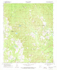
Other maps of this area

1901 · Gurdon
USGS Topo · 1:125,000

1953 · El Dorado
USGS Topo · 1:250,000

1957 · El Dorado
USGS Topo · 1:250,000

1958 · El Dorado
USGS Topo · 1:250,000

1960 · El Dorado
USGS Topo · 1:250,000

1966 · Village
USGS Topo · 1:24,000

1968 · Lamartine
USGS Topo · 1:24,000

1968 · Waldo
USGS Topo · 1:24,000
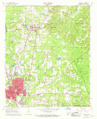
1968 · Magnolia
USGS Topo · 1:24,000
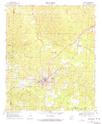
1969 · Stephens
USGS Topo · 1:24,000