
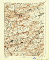
1893 Map of Mahanoy
USGS Topo · Published 1898About this map
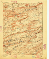
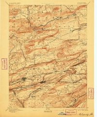
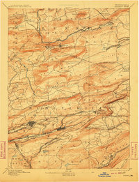
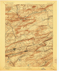
The dense industrial and railway infrastructure of the Anthracite Coal Region dominates this 1890s survey, particularly around the major hubs of Shenandoah and Mahanoy City. A complex web of rail lines, including the Philadelphia and Reading Railroad and the Lehigh Valley Railroad, weaves through the steep ridges of Mahanoy Mountain and Locust Mountain. This landscape is defined by its extraction-based economy, where small patches of settlement like New London (Nuremberg) and Gowen are tied directly to the transport of coal from the valleys. Further north, the terrain transitions into the more dispersed agricultural and woodland areas of Sugar Loaf and North Union, though even here, the influence of the railroads remains visible at stops like Black Ridge Station. The map serves as a detailed record of the intersections between industrial ambition and the challenging topography of the Schuylkill and Luzerne county lines.
Find a feature on this map
109 named features on this map. Tap any name to fly to it.
Don’t see what you’re looking for? This feature index may not catch every label — zoom into the map to look around manually.
Map Details
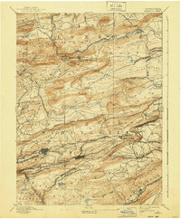
Editions of this 1893 Mahanoy Map
7 editions found
Other maps of this area

1889 · Catawissa
USGS Topo · 1:62,500

1889 · Hazleton
USGS Topo · 1:62,500

1889 · Pottsville
USGS Topo · 1:62,500

1891 · Wilkesbarre
USGS Topo · 1:62,500

1891 · Hazleton
USGS Topo · 1:62,500

1891 · Pottsville
USGS Topo · 1:62,500

1892 · Catawissa
USGS Topo · 1:62,500

1892 · Mahanoy
USGS Topo · 1:62,500

1892 · Pine Grove
USGS Topo · 1:62,500

1893 · Hazleton
USGS Topo · 1:62,500