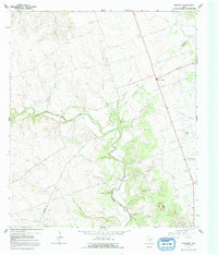
1964 Map of Mahomet
USGS Topo · Published 1992About this map
The North Fork San Gabriel River winds through this section of Central Texas, defining a landscape of limestone plateaus and cedar-shaded hollows along the Burnet Co Williamson Co line. The settlement at Mahomet serves as a local focal point, supported by the nearby Mahomet Cem and Sycamore Springs. This 1964 survey captures the rural character of the region before significant suburban expansion, showing a network of ranch roads and numerous gravel pits that hint at the local geology and industry.
Find a feature on this map
41 named features on this map. Tap any name to fly to it.
Don’t see what you’re looking for? This feature index may not catch every label — zoom into the map to look around manually.
Map Details
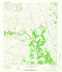
Editions of this 1964 Mahomet Map
2 editions found
Other maps of this area

1887 · Burnet
USGS Topo · 1:125,000

1893 · Georgetown
USGS Topo · 1:125,000

1893 · Burnet
USGS Topo · 1:125,000

1903 · Burnet
USGS Topo · 1:125,000

1909 · Burnet
USGS Topo · 1:125,000

1932 · Bertram
USGS Topo · 1:62,500

1954 · Llano
USGS Topo · 1:250,000

1954 · Austin
USGS Topo · 1:250,000

1955 · Llano
USGS Topo · 1:250,000

1956 · Llano
USGS Topo · 1:250,000