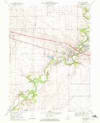
1970 Map of Mahomet
USGS Topo · Published 1971About this map
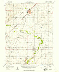
The Sangamon River carves a winding path through the heart of this East Central Illinois landscape, anchoring a community defined by its water resources and transportation corridors. Near the town of Mahomet, the Lake of the Woods serves as a prominent recreational landmark, featuring a Museum and a Covered Bridge. The Penn Central rail line cuts sharply across the terrain, paralleling a highway that was under construction at the time of this 1970 field check.
Find a feature on this map
29 named features on this map. Tap any name to fly to it.
Don’t see what you’re looking for? This feature index may not catch every label — zoom into the map to look around manually.
Map Details
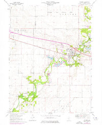
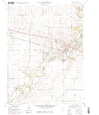
Editions of this 1970 Mahomet Map
3 editions found
Other maps of this area
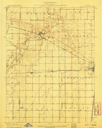
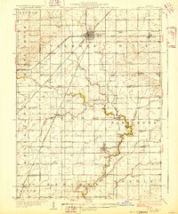
1907 · Mahomet
USGS Topo · 1:62,500
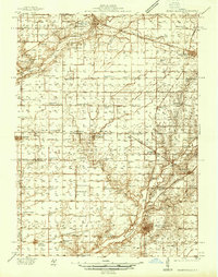
1928 · Gibson City
USGS Topo · 1:62,500
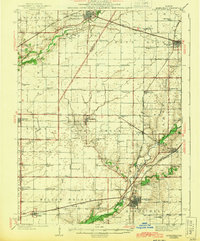
1937 · Monticello
USGS Topo · 1:48,000
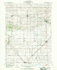
1943 · Monticello
USGS Topo · 1:62,500
1952 · Arrowsmith
USGS Topo · 1:62,500
1957 · Gibson City
USGS Topo · 1:62,500
1957 · Rising
USGS Topo · 1:24,000
1957 · Mahomet
USGS Topo · 1:62,500
1957 · Bondville
USGS Topo · 1:24,000

1958 · Peoria
USGS Topo · 1:250,000