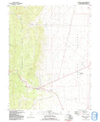
1981 Map of Majors Place
USGS Topo · Published 1992About this map
The high-desert junction of Majors Place marks the primary human outpost in this landscape during the early 1980s, where highways converge on the edge of the expansive Spring Valley. To the west, the terrain rises sharply into the Humboldt National Forest, defined by the deep carving of Cooper Canyon. This transition from the flat valley floor to the wooded highlands is marked by a series of Prospects and unnamed Ruins, suggesting a history of small-scale exploration and fleeting habitation along the mountain front. Significant water resources, critical in this arid environment, are noted at Allen Spring and several deep wells including Well 1818. Scattered extraction sites, including a Borrow Pit and various Gravel Pits, highlight the local utility of the valley's alluvial deposits during this era of rural development.
Find a feature on this map
28 named features on this map. Tap any name to fly to it.
Don’t see what you’re looking for? This feature index may not catch every label — zoom into the map to look around manually.
Map Details
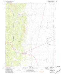
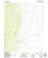
Editions of this 1981 Majors Place Map
3 editions found
Other maps of this area

1948 · Wheeler Peak
USGS Topo · 1:62,500

1950 · Wheeler Peak
USGS Topo · 1:62,500

1952 · Ely
USGS Topo · 1:125,000

1956 · Lund
USGS Topo · 1:250,000

1956 · Ely
USGS Topo · 1:250,000

1959 · Ely
USGS Topo · 1:250,000

1959 · Sacramento Pass
USGS Topo · 1:62,500

1959 · Connors Pass
USGS Topo · 1:62,500

1960 · Lund
USGS Topo · 1:250,000

1963 · Ely
USGS Topo · 1:250,000