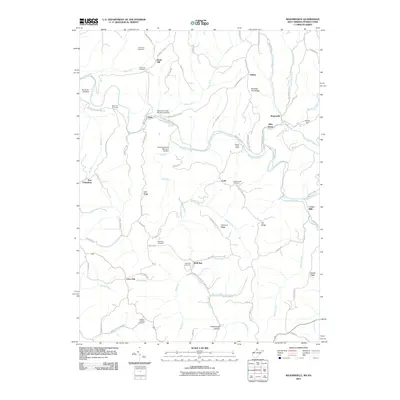
2011 Map of Majorsville
USGS Topo · Published 2011About this map
Majorsville and the surrounding borderlands of West Virginia and Pennsylvania are defined by a complex network of ridges and runs feeding into the Wheeling Creek watershed. The landscape is dotted with ancestral sites of interest to genealogists, including Earlywine Cemetery, Sand Hill Cemetery, and Beelers Station Cemetery. Several small settlements like Calis, Viola, and Alley Grove are linked by winding ridge roads such as Irish Ridge Rd and Dodds Ridge Rd.
Find a feature on this map
88 named features on this map. Tap any name to fly to it.
Don’t see what you’re looking for? This feature index may not catch every label — zoom into the map to look around manually.
Map Details
Editions of this 2011 Majorsville Map
This is the sole edition of this map. No revisions or reprints were ever made.
Other maps of this area

1902 · Wheeling
USGS Topo · 1:62,500

1904 · Cameron
USGS Topo · 1:62,500

1905 · Rogersville
USGS Topo · 1:62,500

1907 · Claysville
USGS Topo · 1:62,500

1935 · Cameron
USGS Topo · 1:62,500

1935 · Wheeling
USGS Topo · 1:62,500

1942 · Cameron
USGS Topo · 1:62,500

1942 · Wheeling
USGS Topo · 1:62,500

1949 · Clarksburg
USGS Topo · 1:250,000

1951 · Canton
USGS Topo · 1:250,000