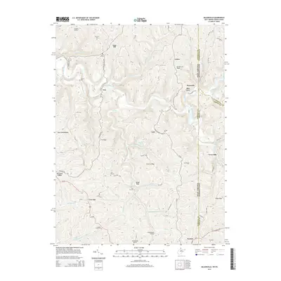
2014 Map of Majorsville
USGS Topo · Published 2014About this map
Wheeling Creek and the Enlow Fork carve a complex system of ridges and hollows across the border of West Virginia and Pennsylvania. This landscape is defined by its deep connectivity between rural settlements like Majorsville, Calis, and New Vrindaban, all linked by winding routes such as Irish Ridge Rd and the Calis Majorsville Rd. For genealogists, the map is particularly rich in family history markers, including the Beelers Station Cem, Earlywine Cem, and Sand Hill Cem. Distinctive landmarks like Ray Williams Spring and the PA-647 Reservoir punctuate the drainage basins of Turkey Run and Wolf Run. The geography reflects a long-standing pattern of ridge-top travel and valley-bottom agriculture typical of the tri-state highland region.
Find a feature on this map
84 named features on this map. Tap any name to fly to it.
Don’t see what you’re looking for? This feature index may not catch every label — zoom into the map to look around manually.
Map Details
Editions of this 2014 Majorsville Map
This is the sole edition of this map. No revisions or reprints were ever made.
Other maps of this area

1902 · Wheeling
USGS Topo · 1:62,500

1904 · Cameron
USGS Topo · 1:62,500

1905 · Rogersville
USGS Topo · 1:62,500

1907 · Claysville
USGS Topo · 1:62,500

1935 · Cameron
USGS Topo · 1:62,500

1935 · Wheeling
USGS Topo · 1:62,500

1942 · Cameron
USGS Topo · 1:62,500

1942 · Wheeling
USGS Topo · 1:62,500

1949 · Clarksburg
USGS Topo · 1:250,000

1951 · Canton
USGS Topo · 1:250,000