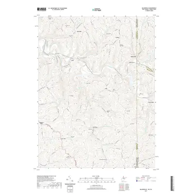
2019 Map of Majorsville
USGS Topo · Published 2019About this map
Majorsville sits at a geographic crossroads where the borders of West Virginia and Pennsylvania meet along the Wheeling Creek Water Trail. This high-elevation terrain is defined by prominent landforms such as Irish Ridge, Chestnut Ridge, and Dry Ridge, which separate the numerous deep-cut stream valleys. The settlement pattern follows these ridgelines and creek bottoms, with small communities like Calis, Viola, and Alley Grove connected by a network of winding roads like McCrearys Ridge Rd.
Find a feature on this map
110 named features on this map. Tap any name to fly to it.
Don’t see what you’re looking for? This feature index may not catch every label — zoom into the map to look around manually.
Map Details
Editions of this 2019 Majorsville Map
This is the sole edition of this map. No revisions or reprints were ever made.
Other maps of this area

1902 · Wheeling
USGS Topo · 1:62,500

1904 · Cameron
USGS Topo · 1:62,500

1905 · Rogersville
USGS Topo · 1:62,500

1907 · Claysville
USGS Topo · 1:62,500

1935 · Cameron
USGS Topo · 1:62,500

1935 · Wheeling
USGS Topo · 1:62,500

1942 · Cameron
USGS Topo · 1:62,500

1942 · Wheeling
USGS Topo · 1:62,500

1949 · Clarksburg
USGS Topo · 1:250,000

1951 · Canton
USGS Topo · 1:250,000