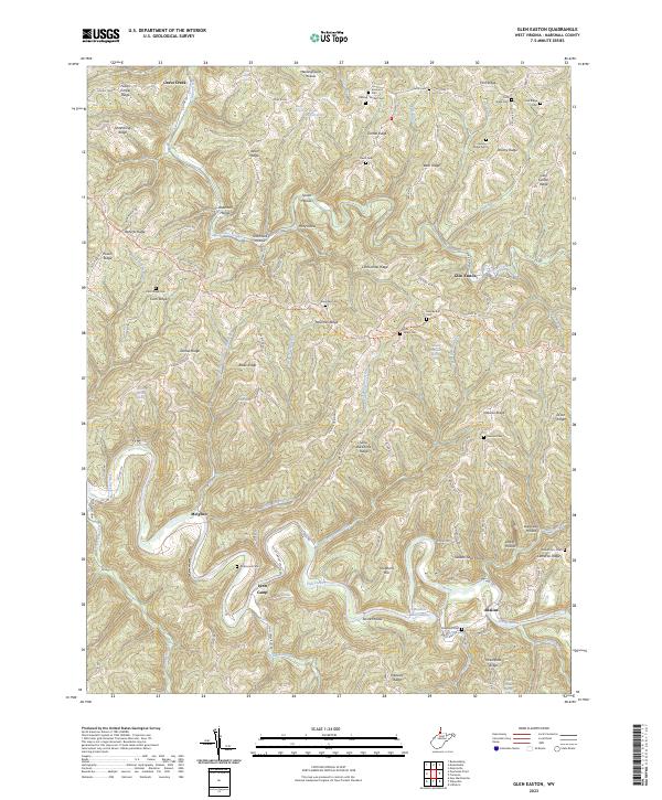
2023 Map of Majorsville
USGS Topo · Published 2023About this map
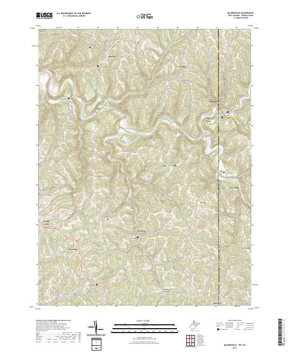
Wheeling Creek and its many tributaries, including the Wheeling Creek Water Trl, carve through this section of the northern panhandle where West Virginia meets Pennsylvania. The landscape is defined by high ridges and deep hollows, such as Irish Ridge and Greathouse Hollow, which dictate the winding paths of rural routes like the Waynesburg Pike and Chestnut Ridge Rd. Small hilltop and valley settlements like Sand Hill, Calis, and Majorsville are scattered across the terrain, often identified by their proximity to local family-named landmarks.
Find a feature on this map
92 named features on this map. Tap any name to fly to it.
Don’t see what you’re looking for? This feature index may not catch every label — zoom into the map to look around manually.
Map Details
Editions of this 2023 Majorsville Map
This is the sole edition of this map. No revisions or reprints were ever made.
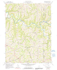
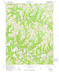
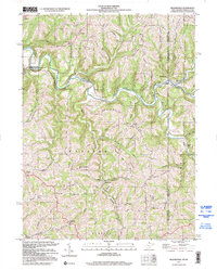
Historical Maps of Alley Grove Through Time
5 maps found