
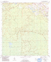
1954 Map of Mallory Swamp NE
USGS Topo · Published 1956About this map
Mallory Swamp and its surrounding wetlands dominate this 1950s landscape in Lafayette County, where the terrain is a complex network of hammocks, bays, and ponds. The industrial past of the region is etched into the earth by the Old Railroad Grade, which snakes through Brushy Hammock and across the Wampee Ponds, marking former corridors for timber extraction.
Find a feature on this map
12 named features on this map. Tap any name to fly to it.
Don’t see what you’re looking for? This feature index may not catch every label — zoom into the map to look around manually.
Map Details
Editions of this 1954 Mallory Swamp NE Map
2 editions found
Other maps of this area

1954 · Mallory Swamp NW
USGS Topo · 1:24,000

1954 · Mallory Swamp SW
USGS Topo · 1:24,000

1954 · Mallory Swamp SE
USGS Topo · 1:24,000

1954 · Gainesville
USGS Topo · 1:250,000

1954 · Valdosta
USGS Topo · 1:250,000

1955 · Mayo
USGS Topo · 1:24,000

1955 · Mayo SE
USGS Topo · 1:24,000
1956 · Mallory Swamp NW
USGS Topo · 1:25,000

1956 · Mallory Swamp SE
USGS Topo · 1:25,000

1958 · Valdosta
USGS Topo · 1:250,000